
High-Level Project Summary
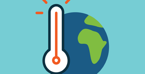
The aim of this project is to give people awareness about climate change caused by CO2 and methane emissions by showing actual and future temperatures, CO2 and methane levels.
Link to Final Project
Link to Project "Demo"
Detailed Project Description
The app allows you to select a city anywhere in the world, and shows its actual temperature, the concentration of CO2 and the concentration of methane. It also allows the user to choose another year, so that, with the help of machine learning, projections of this data can be shown taking into account that the contamination and emissions are increasing over the years. This is a way to show that, if nothing changes, climate change can affect our lives dramatically over the years.
Our machine learning model for the application is based on the paper “Predictive modeling of wildfires: A new dataset and machine learning approach”, which uses the normalized difference vegetation index and the land surface temperature to predict wildfires. We added the emissions factor through the data of CO2 emissions to relate these factors to the data of wildfires. Furthermore, we used historical data of emissions from different cities to relate it to the model, predicting the chance of wildfires in these regions. In this way we can predict in the future the temperature of the city, related to its emissions and chance of disaster. (Sayad et al., 2019)
Space Agency Data
We used ABoVE/ASCENDS: Active Sensing of CO2, CH4, and Water Vapor, Alaska and Canada, 2017 and ABoVE: Atmospheric Gas Concentrations from Airborne Flasks, Arctic-CAP, 2017 to get data from CO2 and methane emissions. The ABoVE: Wildfire Date of Burning within Fire Scars across Alaska and Canada, 2001-2019 was used to get historical information about wildfires. Finally we used global city emissions from Global Carbon Atlas to get data from CO2 emissions from different cities around the world, in order to predict the temperature and risk of wildfires in the future.
Hackathon Journey
We began by skimming through the provided data to understand which information we could get from it. Then, we talked about all the insights we found and made a session of brainstorming about a problem we could approach. We defined that CO2 emissions, global temperatures and wildfires, were going to be the three main axes of our project. Then, each member of the group did a basic design of the app and defined how data was going to be used. We made another session to present the ideas, and we took the best of every one of them to build our final solution. Collaboration was the key to build the project, taking into account everyone’s contribution. Innovation was an important part of the project too, because we had to understand how to use the data to build the app.
References
Sayad, Y. O., Mousannif, H., & Al Moatassime, H. (2019). Predictive modeling of wildfires: A new dataset and machine learning approach. Fire Safety Journal, 104, 130–146. https://doi.org/10.1016/j.firesaf.2019.01.006
Tags
#hardware, #App, #Future, #ClimateChange