
High-Level Project Summary
We decided to make an application that is easily accessible and much more visually appealing. Our team developed a python application that took the ISS’s latitude and longitude via a NASA API with the help of the urlib library, instead of a plain 2D world map. We developed a fully functional, interactive, 3D globe. Also, with the help of the Flask framework and Github, we were able to successfully deploy it in the localhost. This would not only ensure the user is able to receive as much information but also can interact with the project more easily. In conclusion, our application makes it fun, easier and fast to track the International Space Station.
Link to Final Project
Link to Project "Demo"
Detailed Project Description
All of our information is included in the link
Space Agency Data
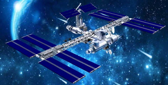
We decided to use data from NASA, we got an API that tracks the live latitude and longitude from the Space Station’s updated link. The API was very useful in our case to track the live location of the I.S.S, it helped us track the flyover of specific destinations. We embedded the API into a variable inside our python program and it was one of the main aspects of data throughout the whole process.
Hackathon Journey
Overall, hackathons are amazing. But NASA Space Apps really bring all your thinking skills, knowledge and creativity to the test. Especially with the fast-pace and encouraging mentors/teammates. The two days, all team members worked extremely hard on this project. Something we all have in common is our love of technology and space. We decided to add both of them together which landed us to this theme, we faced some errors and tests of patience as our computers denied us but we were able to overcome all the barriers with the help of our mentors and the internet.
References
Tags
#ISS #API #TrackTheSpaceStation #SpaceStation #GPS #Python #Visualization #Earth #Globe