
High-Level Project Summary
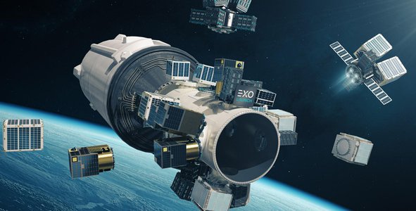
Our web-app aims to showcase to you first in class the 3 dimensions international space station tracker, this tracker, unlike the conventional tracker, focuses to showcase you the location of the space station in real-time in three dimensions. Now to make this possible and accurate we have integrated an API that helps us to know about the ISS main tracker which will continuously help us update the live location. Furthermore, we are also using different maps to view day and night on the globe. This application would further be equipped to calculate and display the station's speed and height above the earth.
Link to Final Project
Link to Project "Demo"
Detailed Project Description
We have built a web application to track space stations offering multiplying features and capabilities over conventional trackers. Unlike the old bidimensional trackers that don't support 3D depictions or visualize stations as a dot or 2D models, our application would be fully accessible via a browser. The project would be open-source so that anyone can learn how the code works and in fact improve them. The information used has been crafted by NASA itself. The website application would provide 3D visualizations of Earth, the space station, and the station's orbit. The user would also be able to enjoy a feature by which the real-time positioning of the space station will be feasible. Using the 3D concept repositories it will be successfully able to distinguish between Day and Night time. Various sophisticated technologies have been used to offer a tailor-fit experience to the user, these include but are not included such as 3.js, react,react3drei, react3fibre along with various APIs. These APIs helps various modules of different framework and languages communicate with each other. The application will be capable of calculating the real-time station speed, distance, and height over the earth's surface via the data feed from the speedometer and stadiometer. Further with the help of a container, it would display the latitudes and longitudes too.
Space Agency Data
On every third day, data is automatically changed by NATA itself. Although we get this very information from ephermeris. ORBIT EPHEMERIS MESSAGE(OEM) is in .TXT and .XML format.And also we have used integrated API in a parallel way for locating the space station.
Hackathon Journey
Participating in the hackathon was really an exciting experience for us. Hackathons in general are very welcoming, especially to newbies with no prior coding experience. In the initial stages, we faced several challenges and problems the excitement to collaborate with other teammates and work on a space project inspired us to put in our best and overcome all the difficulties. Fortunately, with the efforts of all team members, we are able to complete the project well within the time frame. Finding the solution to the challenge was really thrilling and we even came to know a lot more about the International space station. When the project development is completed, we are really excited about the app's ability to let you explore the International space station in three dimensions and its location.
References
https://spotthestation.nasa.gov/
https://spotthestation.nasa.gov/tracking_map.cfm
https://spotthestation.nasa.gov/trajectory_data.cfm
http://api.open-notify.org/iss-now.json
Tags
#Planetry_cohorts