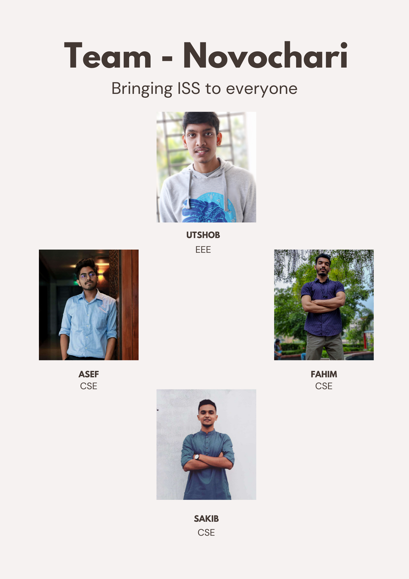
Tracking ISS like never before.

| <scripttype="text/javascript"> | |
| // set width/height | |
| var w = 1000; | |
| var h = 600; | |
| var padding = 60; | |
| // load csv and it only exists within the callback function! | |
| d3.csv('d3df.csv', function(error, dataset) { | |
| dataset.forEach(function(d){ | |
| d.Distance=+d.Distance; | |
| d.Period=+d["Period..minutes."]; | |
| }); | |
| // Scaling functions | |
| varxScale=d3.scale.linear() | |
| //.domain([0, d3.max(dataset, function(d) { return d.Period; })]) | |
| .domain([0,1]) | |
| .range([padding,w-padding*2]); | |
| varyScale=d3.scale.linear() | |
| .domain([0,d3.max(dataset,function(d){returnd.Distance;})]) | |
| .range([h-padding,padding]); | |
| // Define Axes | |
| varxAxis=d3.svg.axis() | |
| .scale(xScale) | |
| .orient("bottom") | |
| .ticks(5) | |
| .tickFormat(""); | |
| varyAxis=d3.svg.axis() | |
| .scale(yScale) | |
| .orient("left") | |
| .ticks(5); | |
| // Create SVG | |
| varsvg=d3.select("#wrapper") | |
| .append("svg") | |
| .attr("width",w) | |
| .attr("height",h); | |
| // Create dots | |
| svg.selectAll("circle") | |
| .data(dataset) | |
| .enter() | |
| .append("circle") | |
| .attr("cx",function(d){ | |
| //return xScale(d.Period); | |
| returnxScale(Math.random()); | |
| }) | |
| .attr("cy",function(d){ | |
| returnyScale(d.Distance); | |
| }) | |
| .attr("r",2) | |
| // filter colors | |
| .attr("fill",function(d){ | |
| // return "rgb(0, 0, " + (d["Distance"]) + ")"; | |
| return"rgb(0, 0, 0)"; | |
| }) | |
| .on("mouseover",function(d){ | |
| varxValue=parseFloat(d3.select(this).attr("cx")); | |
| varyValue=parseFloat(d3.select(this).attr("cy")); | |
| d3.select("#tooltip") | |
| .style("left",xValue+"px") | |
| .style("top",yValue+"px") | |
| .select("#name") | |
| .html(d["Name.of.Satellite..Alternate.Names"]+"<br>"+ | |
| "Country: "+d["Country.Org.of.UN.Registry"]+"<br>"+ | |
| "Use: "+d["Users"]+"<br>"+ | |
| "Purpose: "+d["Purpose"]); | |
| console.log(d); | |
| d3.select("#tooltip").classed("hidden",false); | |
| }) | |
| .on("mouseout",function(){ | |
| d3.select("#tooltip").classed("hidden",true); | |
| }); | |
| // Append axes to SVG | |
| svg.append("g") | |
| .attr("class","axis") | |
| .attr("transform","translate(0,"+(h-padding)+")") | |
| .call(xAxis); | |
| svg.append("g") | |
| .attr("class","axis") | |
| .attr("transform","translate("+padding+",0)") | |
| .call(yAxis); | |
| // for check boxes | |
| d3.selectAll("[name=user]").on("change",function(){ | |
| varselected=this.value; | |
| display=this.checked ? "inline" : "none"; | |
| svg.selectAll("circle") | |
| .filter(function(d){returnselected==d.Users;}) | |
| .attr("display",display); | |
| }); | |
| d3.selectAll("[name=v]").on("change",function(){ | |
| varselected=this.value; | |
| display=this.checked ? "inline" : "none"; | |
| svg.selectAll("circle") | |
| .filter(function(d){returnselected==d["Country.Org.of.UN.Registry"];}) | |
| .attr("display",display); | |
| }); | |
| }); //end d3.csv() | |
| </script> |
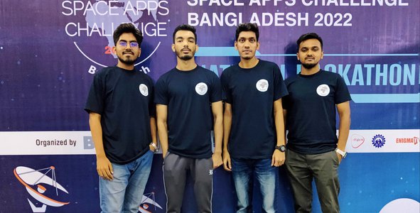
ISS Live 3D is an open-source webapp to make sure that astronaut can have better navigation in tracking International space station in Space. ISS tracking like never before and, bringing the ISS to everyone! we are solving the problem in tracking ISS in 3D. Passionate people will get an opportunity to work with it in future. we are implementing cutting edge technologies like Augmented Reality View, voice assistant navigation. With Augmented reality view road map, tracking will be more efficient. We have used Nasa’s 3d ISS model. we will show safest road to reach ISS by Nasa’s weather api. Google’s AR model viewer and tts AI engine will be used. JavaScript will be the main programming language in developing our app. Now with our webapp, tracking ISS will be more interactive.
hi